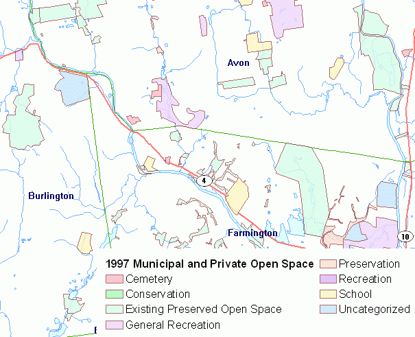
1997 Municipal and Private Open Space includes open space property throughout Connecticut collected and compiled between 1994 and 1997. It is dated (older) information and care should be taken when using these data. For more current open space information, see the Protected Open Space data. 1997 Municipal and Private Open Space includes land owned in fee simple interest by municipalities, land trusts, and private entities within the State of Connecticut. Types of property include conservation land, existing preserved open space, general recreation land, preservation land, recreation land, and uncategorized land.
Use this information to view open space parcels owned by municipalities, land trusts and private entities throughout the state. It can be used with other related cadastral or parcel level data, such as property owned by the Department of Energy and Environmental Protection, Protected Open Space and Connecticut Parcels. It can also be used with a variety of environmental data to interpret environmental conditions within an open space area, such as wildlife habitat, endangered species areas, soils and wetlands, fisheries management areas, tidal wetlands, bedrock and surficial geology, etc.
1997 Municipal and Private Open Space consists of data that were collected and compiled at a 1:24,000 scale using the United State Geological Survey Topographic Quadrangle maps as a base. It should not be used at a scale more detailed than 1:24,000 (1 inch = 2,000 feet). Use this dataset only as a general guide to parcel boundaries. The boundaries in this layer are not to be used for legal purposes. Because this dataset contains parcel information that was collected and compiled between 1994 and 1997, it is not current and is no longer accurate. For more updated open space data, see Protected Open Space. That dataset contains more current information but does not contain every town in the state since it is not yet complete.